Tools
The tools presented below represent a portion of the tools available for the climate, agriculture and forestry sectors. The tools range from specialized calculators to maps, models and datasets estimating a variety of outputs (e.g., crop production, greenhouse gas flux, and species distribution). Certain tools may be more relevant to land managers to aid in year-to-year decision-making, while others are more useful for researchers studying agriculture and climate change. Keep in mind that all tools have limitations and make assumptions that may not be appropriate for an entity’s climate/region/crop/soil type. USDA does not endorse the tools presented below. The tool list is provided for informational purposes only, and is not exhaustive.
-
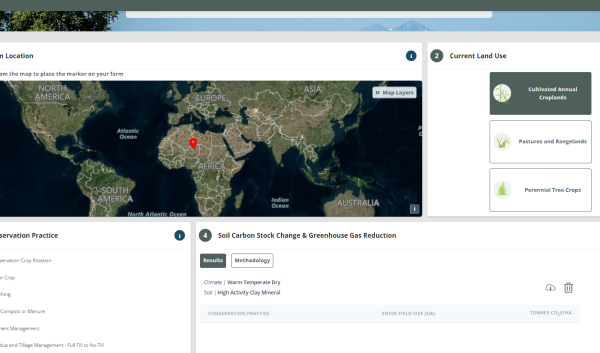
Farm Planning Tool creates a spatial report about geophysical characteristics, future climate scenarios and more

This tool displays a summary of spatial information on soils, climate, hydrology, and topography for farm or forest areas. The data included in this application was provided by each government agency that created or…


