

Tools
The tools presented below represent a portion of the tools available for the climate, agriculture and forestry sectors. The tools range from specialized calculators to maps, models and datasets estimating a variety of outputs (e.g., crop production, greenhouse gas flux, and species distribution). Certain tools may be more relevant to land managers to aid in year-to-year decision-making, while others are more useful for researchers studying agriculture and climate change. Keep in mind that all tools have limitations and make assumptions that may not be appropriate for an entity’s climate/region/crop/soil type. USDA does not endorse the tools presented below. The tool list is provided for informational purposes only, and is not exhaustive.
-
NEWA Integrated Pest Management Forecasts and Weather Data

A suite of tools by Network for Environment and Weather Applications (NEWA) to track pests and weather forecasts in 31 states for pest management, crop production and weather monitoring.
-
National Air Quality Site Assessment Tool

The NAQSAT is designed to provide assistance to livestock and poultry producers and their advisors when assessing a producer’s efforts to minimize air emissions and determining where there are opportunities to reduce…
-
National Climate Change Viewer
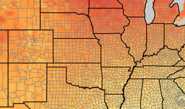
NCCV (National Climate Change Viewer) allows users to visualize past and projected changes in climate and water balance for any state, county and USGS Hydrologic Unit (HUC) at levels 2,4, and 8.
-
Forest Service CarbonPlus Calculator
This tool calculates carbon emissions that are directly related to day-to-day operations such as travel, office activities, and equipment usage for USDA Forest Service facilities.
-
ForeCASTS

The maps in this atlas forecast future suitable habitat for North American forest tree species under two climate change models and predict the parts of tree ranges that will be under the greatest climate change pressure.
-
First Order Fire Effects Model (FOFEM)
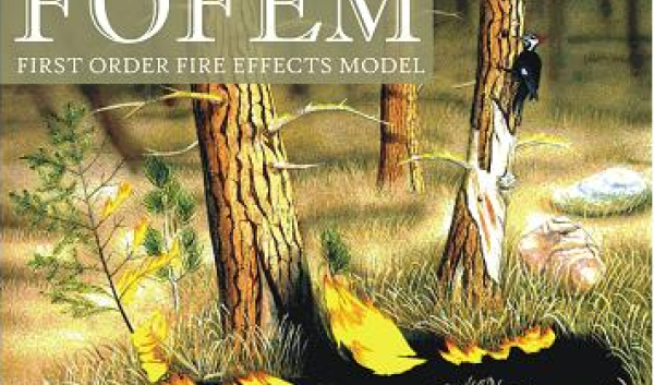
FOFEM (a First Order Fire Effects Model) is a computer program for predicting tree mortality, fuel consumption, smoke production, and soil heating caused by prescribed fire or wildfire.
-
farmOS
farmOS is a web-based application for farm management, planning, and record keeping. It is developed by a community of volunteers and aims to provide a standard platform for agricultural data collection and management.
-
Experimental Temperature and Precipitation Outlooks
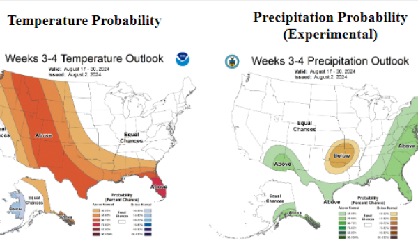
This is an experimental tool that forecasts variations from normal for temperature and precipitation for various weeks in the future for the United States.
-
Environmental Policy Integrated Climate (EPIC) Model

EPIC simulates approximately eighty crops with one crop growth model using unique parameter values for each crop. It predicts effects of management decisions on soil, water, nutrient and pesticide movements, and their…