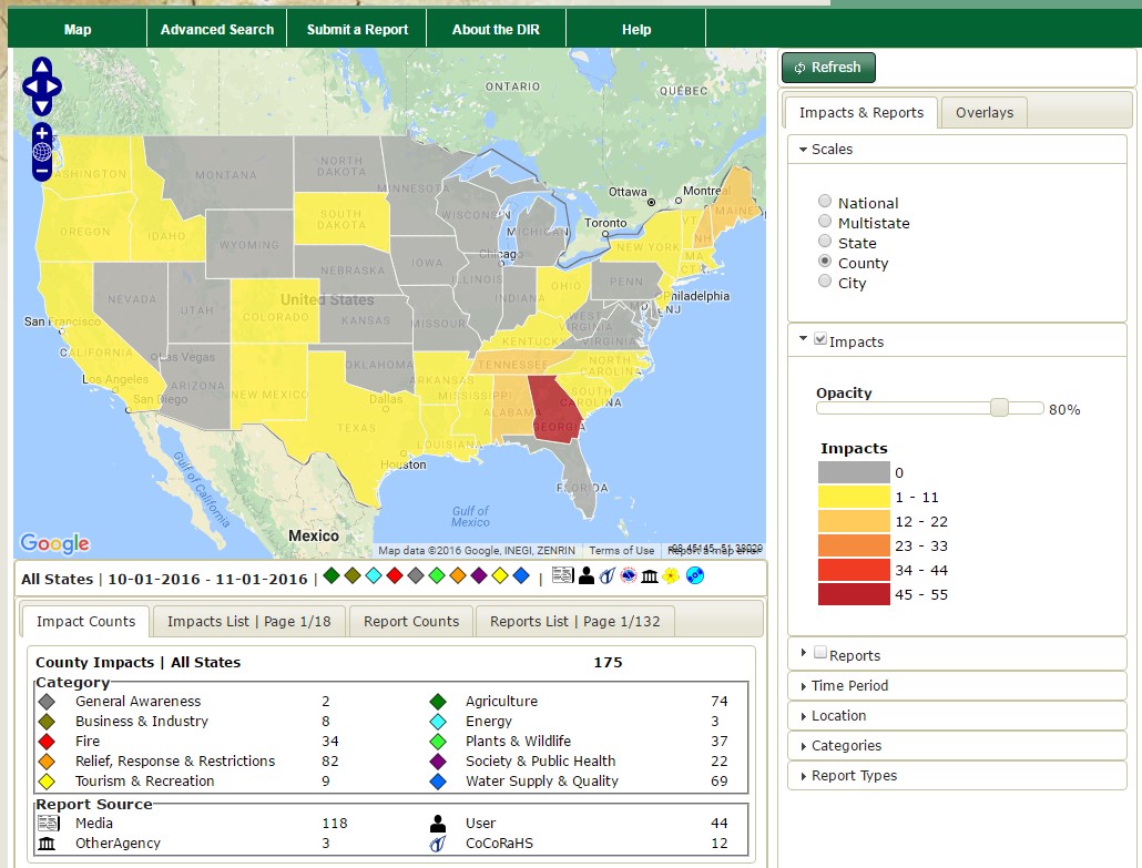
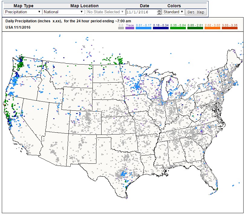
USDA has the science-based solutions and technical experts on the ground today to help farmers and ranchers through drought and to prepare our country for weather events in the future. USDA offers technical and financial assistance to farmers and ranchers to cope with drought across the nation. Every day, USDA is closely monitoring the drought and assisting farmers and ranchers with implementing voluntary conservation practices that help alleviate the drought's effects.
You can find the latest drought information and resources that USDA offers here.
The Climate Hubs are working closely with their regional partners including the National Oceanic and Atmospheric Administration’s (NOAA) National Integrated Drought Information System (NIDIS) teams and their Drought Early Warning Program, the National Drought Mitigation Center, the NOAA Climate Predictions Center, and National Weather Service through their Community Collaborative Rain Snow and Hail network.
Get Involved in Your Region
U.S. Drought Monitor: Current Drought Conditions

The U.S. Drought Monitor is a weekly map of drought conditions that is produced jointly by the National Oceanic and Atmospheric Administration, the U.S. Department of Agriculture, and the National Drought Mitigation Center (NDMC) at the University of Nebraska-Lincoln.
If you'd like to learn more about using and interpreting the U.S. Drought Monitor you can take the United States Drought Monitor Tutorial.
-
The U.S. Drought Monitor, established in 1999, is a weekly map of drought conditions that is produced jointly by the National Oceanic and Atmospheric Administration, the U.S. Department of Agriculture, and the National Drought Mitigation Center (NDMC) at the University of Nebraska-Lincoln. The U.S. Drought Monitor website is hosted and maintained by the NDMC.
U.S. Drought Monitor maps come out every Thursday morning at 8:30 Eastern Time, based on data through 7 a.m. Eastern Standard Time (8 a.m. Eastern Daylight Time) the preceding Tuesday. The map is based on measurements of climatic, hydrologic and soil conditions as well as reported impacts and observations from more than 350 contributors around the country. Eleven climatologists from the partner organizations take turns serving as the lead author each week. The authors examine all the data and use their best judgment to reconcile any differences in what different sources are saying.
Drought Impact Reporter
Submit a report to the Drought Impact Reporter
Provide a description of how drought is affecting you, your livelihood, your activities, etc. The Drought Impact Reporter (DIR) is the nation's first comprehensive database of drought impacts. The DIR collects and displays reports, providing researchers and interested members of the public with context and detail of on the ground drought impacts across the nation.
Drought Impacts Reporter Tutorial
Community Collaborative Rain, Hail & Snow Network
The CoCoRaHS network is a unique grassroots network of thousands of trained volunteers of all ages and backgrounds working together to improve meteorological science by measuring and reporting precipitation amounts (rain, hail, and snow). CoCoRaHS is the largest provider of daily precipitation observations in the United States. The data from these observations are used by USDA and the National Oceanic and Atmospheric Administration (NOAA) for tools such as the United States Drought Monitor.


