


Fire Danger Forecast : Tool developed by USGS EROS and the USDA Forest Service that combines forecast weather data and satellite observations to depict the risk for large fire activity. Forecasts are produced up to seven days in advance and are updated daily.

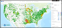
Wildfire Risk To Communities: Developed by the USDA Forest Service, is a free, easy-to-use website with interactive maps, charts, and resources to help communities understand, explore, and reduce wildfire risk.

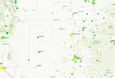
State Fire Danger Maps: County-level forecasts and current fire risk conditions are available through the Oklahoma and Kansas Mesonet and Texas A&M Forest Service websites.
AirNow Fire and Smoke Maps: Tool developed by the EPA and the USDA Forest Service to provide information that you can use to help protect your health from wildfire smoke.
National Water Prediction Service: A tool developed and maintained by NOAA and USGS covering the contiguous United States with real-time river gauge and precipitation data and associated flood hazard forecasts.