

-
Forest Health Advisory System
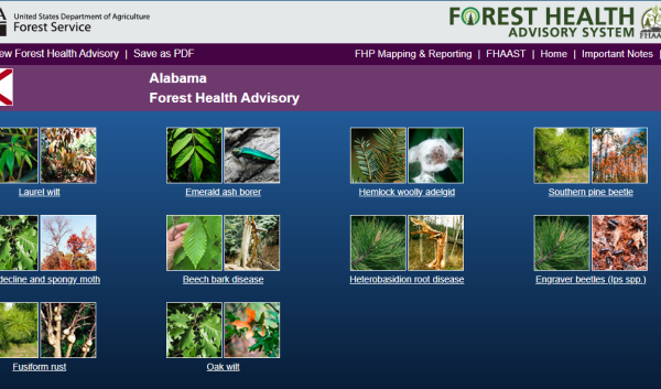
The Forest Health Advisory System (FHAS) provides a snapshot of U.S. forests and the susceptibility of their trees to…
-
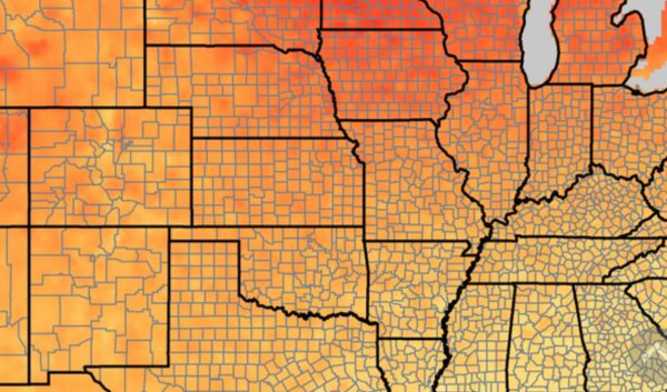
NOAA Climate Monitoring
A webpage that provides climate information at multiple scales and across multiple variables, such as temperature,…
-
Planting Population Calculator
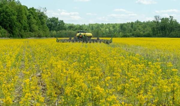
The Ag PhD Planting Population Calculator aids in determining planting population and stand counts for the crops (corn…
-
PastureMap

PastureMap is a grazing management and cattle record keeping software that includes season forecasting and scenario…
-
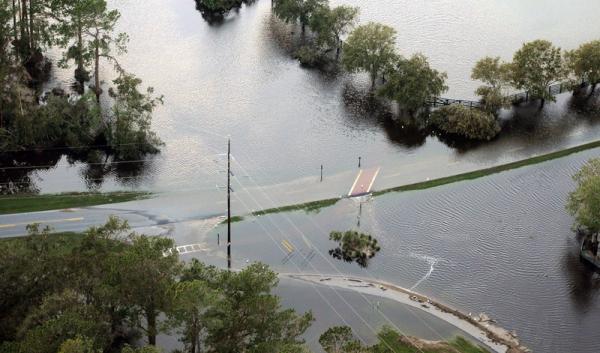
NOAA Sea Level Rise Viewer
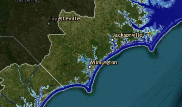
This web mapping tool visualizes ecological and community-level impacts from coastal flooding or sea level rise (up to…
-
National Insect and Disease Risk Map

The 2013-2027 NIDRM is a nationwide strategic assessment and database of the potential hazard for tree mortality due to…
-
National Air Quality Site Assessment Tool

The NAQSAT is designed to provide assistance to livestock and poultry producers and their advisors when assessing a…
-
National Climate Change Viewer
NCCV (National Climate Change Viewer) allows users to visualize past and projected changes in climate and water balance…
-
Forest Service CarbonPlus Calculator
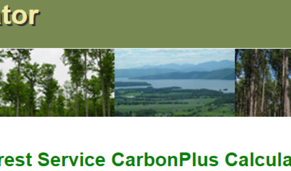
This tool calculates carbon emissions that are directly related to day-to-day operations such as travel, office…